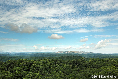
West of Wise, Virginia, are the etched remains of Flat Gap Mountain. The stratigraphic sequence exposed in the area is approximately 4800 feet thick and ranges in age from Upper Mississippian to Middle Pennsylvanian. This sequence is mainly siltstone, sandstone, and coal, although a few beds of shale and limestone are present.1
focal length: 4.7mm | exposure: f/2.2 | 1/1923 | iso 100
1Nolde, Jack E, et al. “Geology of the Virginia Portion of the Flat Gap Quadrangle.” Geology of the Virginia Portion of the Flat Gap Quadrangle, Virginia Department of Mines, Minerals, and Energy, 1988, www.dmme.virginia.gov/commercedocs/PUB_71.pdf.
